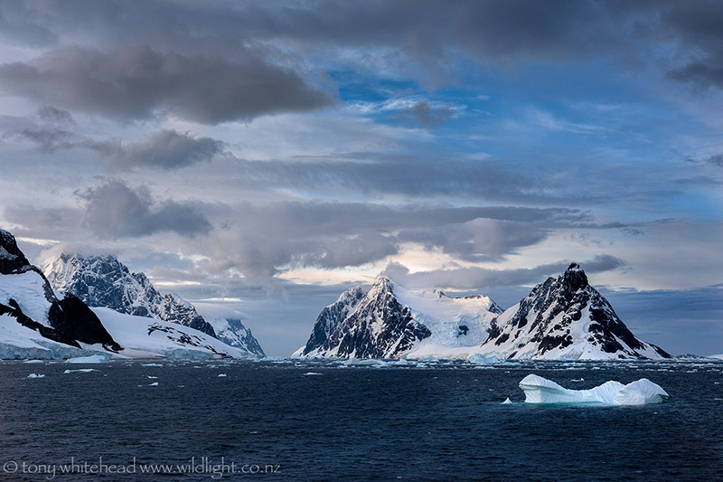
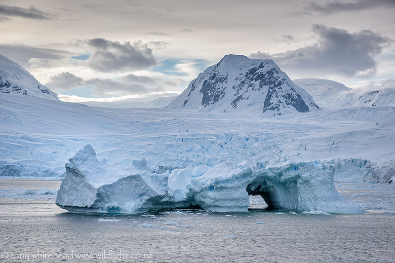
Our passage through the Lemaire Channel was, for me, the one place that encapsulated the landscape of the Antarctic peninsula. The sheer scale of the mountains, glaciers, icebergs and wind all summarised in one dramatic location. The image at the head of this post was one of the first photos I processed after getting home and I found it interesting that as a photographer most interested in birds, it was a landscape image that I chose to work on. We have our preconceptions before visiting somewhere new and I had been looking forward to the Antarctic wildlife so was excited but not surprised by it. The landscapes on the other hand were just so much larger, more dramatic and otherworldly than I had anticipated that they made a huge impression on me. It had been a similar experience when visiting the Great Barrier Reef in 1991 to dive and then discovering the unexpected and stunning Daintree Rainforest with all its associated birds.
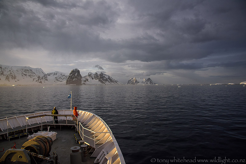
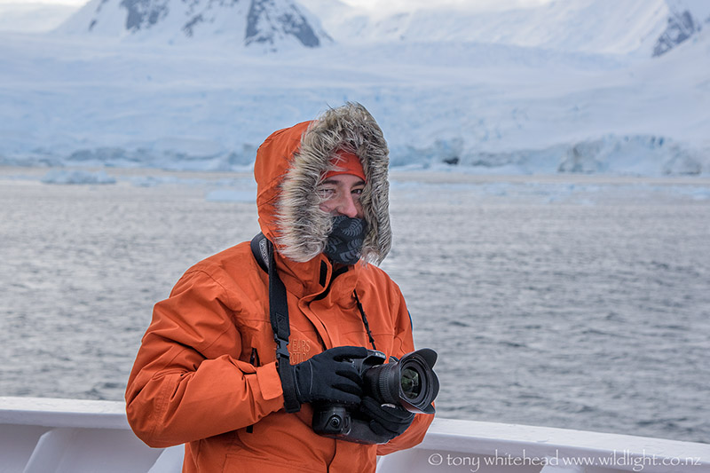
We had set our alarms for 5am to make the most of the day and enjoyed the relative calm and quiet as we slowly made our way to the entrance to the channel. It was cold but not too windy until we entered the channel when the wind funnelling between the mountains really added to the wind chill factor. I stayed down at the bow but Edin explored up as high as the observation deck where the wind was much more fierce.
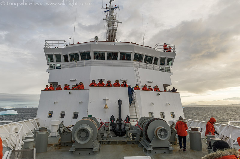
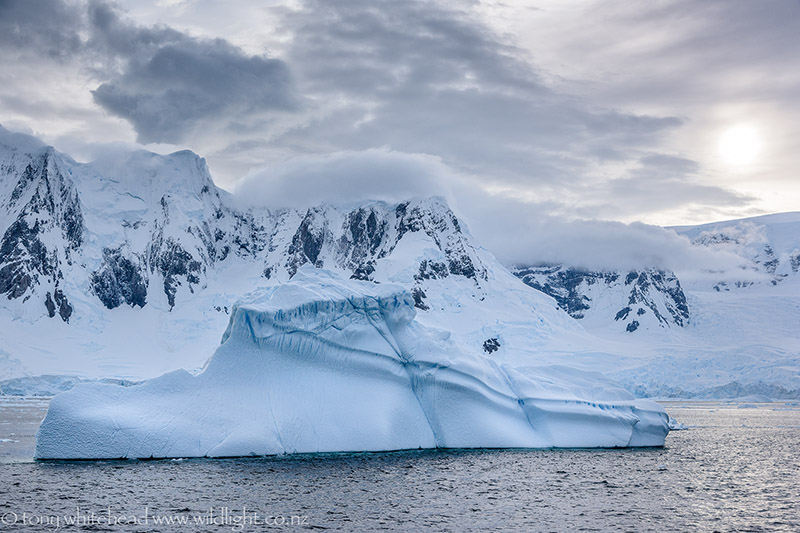
I must confess to feeling disappointed in my images as they just don’t do justice to the drama of the landscape. The size is overwhelming and to fit it in needs a wide angle lens which by it’s nature makes things look smaller so that they can be compressed into the frame. Focussing in on detail gives no impression of the size as there is nothing to give a sense of scale. Words and images just cannot convey it adequately unless you have seen it when they can then trigger a memory.
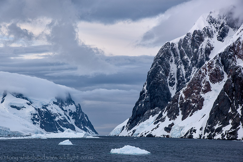
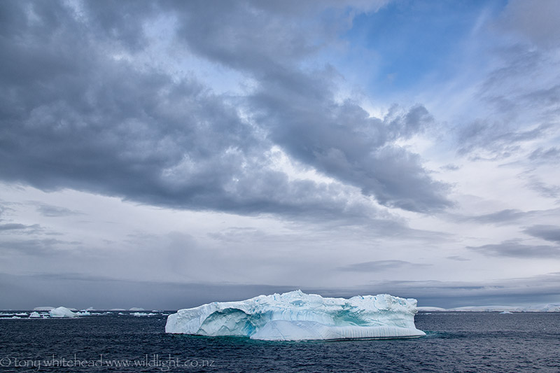
The channel was littered with icebergs and from a distance it looked choked and impassable but as we proceeded gaps appeared and the captain could expertly thread the ship through the channel with bergs passing close by on either side. The Lemaire Channel lies between the Kiev Peninsula of Grahamland and Booth Island and is 11 kilometres long but narrows to only 1600 metres. It was first navigated in 1898 by Adrien de Gerlache of the Belgian Antarctic Expedition and he named it for Charles Lemaire, a Belgian explorer of the Congo.
Pingback: A sense of scale